Southern Upland Way – Galashiels
I covered another length of the Southern Upland Way today – out from Galashiels.
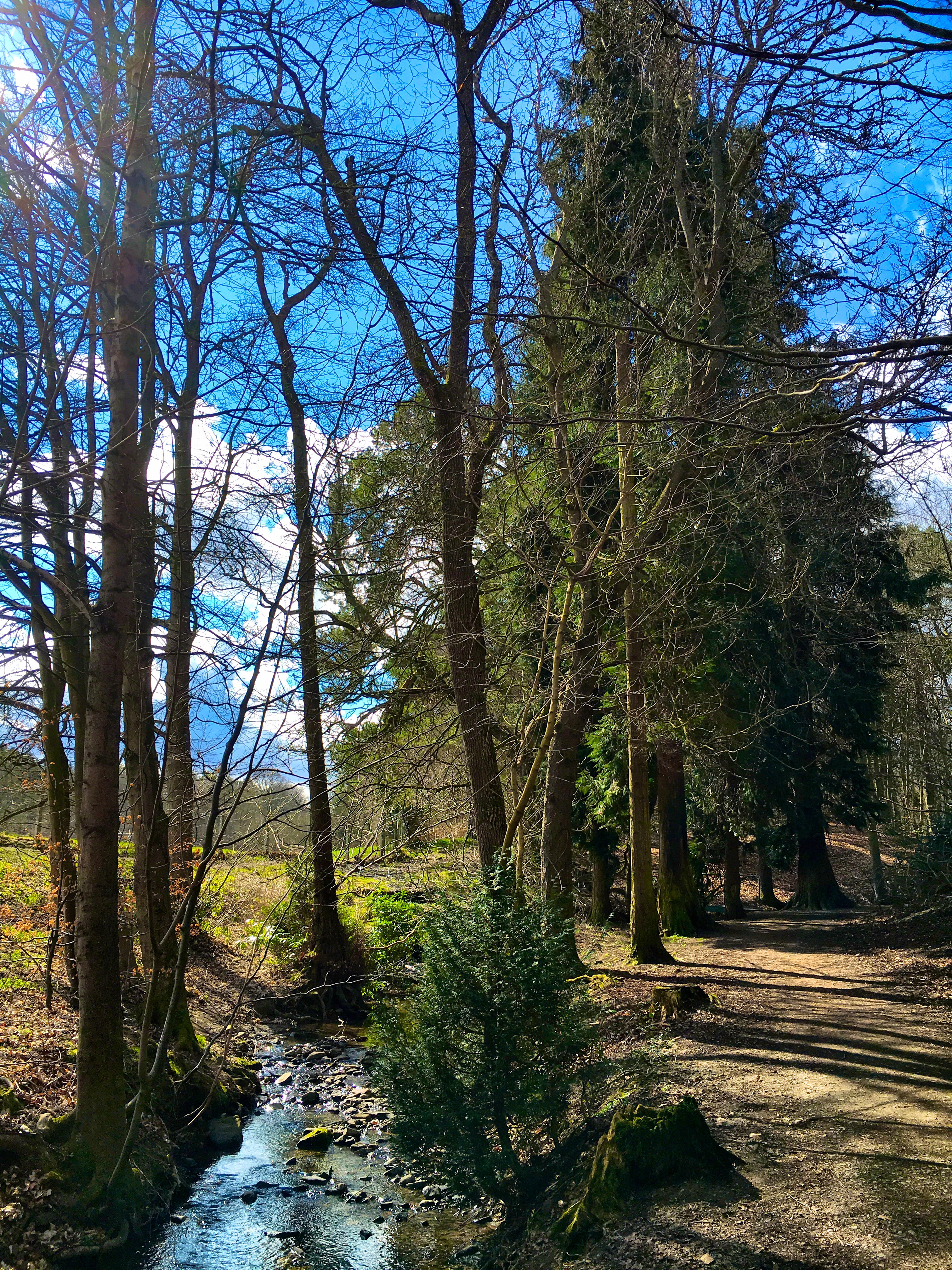
The weather was excellent until just after lunch when it started to hail.

Southern Upland Way – Galashiels Read More »
I covered another length of the Southern Upland Way today – out from Galashiels.
The weather was excellent until just after lunch when it started to hail.
Southern Upland Way – Galashiels Read More »


The clouds were very impressive on my walk today – plenty of photo opportunities. Luckily I had just got back to the car as the rain started.
Walking on the Southern Upland Way Read More »
It froze last night! There was frost on the grass and ice on the windows of the MX-5 when I got up. My sleeping gear kept me warm throughout the night but it was chilly whilst I was having my breakfast.
After sorting some things for Octagon, which included driving out to get a better internet connection, I set off from Lauder to walk some more of the Southern Upland Way.
I came across this picnic table at just about the time for a tea break – great view, tucked away out of the wind and a sun trap.

Lightweight titanium Alpkit brew kit – Kraku stove, MytiMug 400 and a Snapwire spoon.
Tea on the Southern Upland Way Read More »
I have added a plot of the Southern Upland Way to my Download page – the file is the standard .gpx format so it is useable in a wide range of GPS units and applications. I am usiing it in Memory Map and on my iPhone.
There were some problems plotting the route on my 50k OS map – at the following locations – the route was not clear on the map.
If you use this route you will have to take care over those sections.
I plotted the route to skirt Glengaber Hill.
This is a walk I am planning to undertake in the summer of 2013. The plan at this time is to take fourteen days, carry lightweight camping gear and to stay in a mixture of campsites, wild camping and bed and breakfasts. Carrying food as required and resupplying along the route.
Southern Upland Way- .gpx file Read More »

