Ramsgate
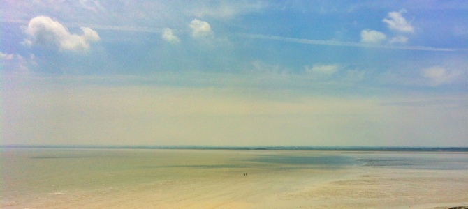
Following a couple of business meetings and some work on the Ramsgate Gift Corner WordPress website I had an opportunity to walk along the cliff top.
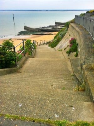
Following a couple of business meetings and some work on the Ramsgate Gift Corner WordPress website I had an opportunity to walk along the cliff top.
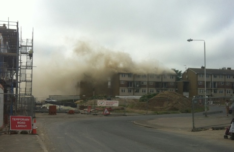
Fire crews warn people to stay inside as they tackle Ramsgate fire – News – Kent News.
This is the fire I photographed on Tuesday – see my photos here.
Fire crews warn people to stay inside as they tackle Ramsgate fire – News – Kent News Read More »
Victorian Post Box, near the Pegwell Hotel, Ramsgate.
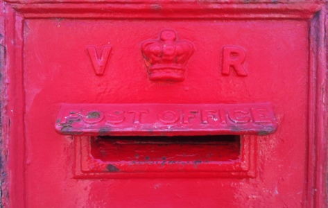
Victorian Post Box Read More »
I am working in Thanet this week – and here are today’s photos.
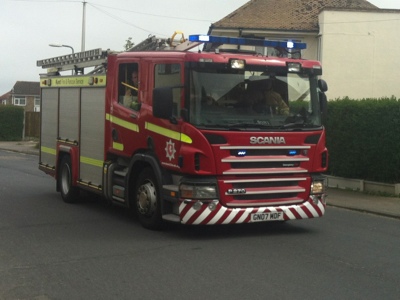
And the fire engine on the way to the fire.
The fire was on Newington Estate, Ramsgate, Kent.