Carnforth pt 3
I had planned to return by following the coast path, however when I got there the path was flooded and too soft to walk on, so I decided to follow the canal path back towards Pine Lakes. Here is bridge 129a, carrying the motorway.

Not as quaint as the other bridges.
Unfortunately the path I wanted to follow did not exist.

As the light was starting go I decided it would be better to take the road way back – there is a very good path along the main road from Carnforth to Pine Lakes. You need to be careful crossing the roads at the roundabout at the resort, and when getting around the tree which has recently fallen over blocking the path!
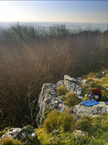
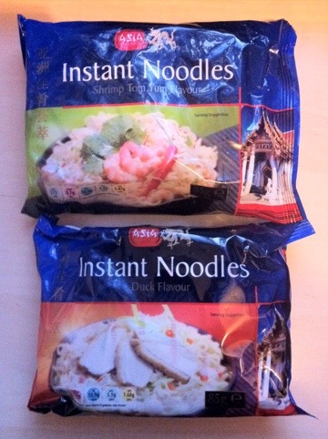
The walk today was on paths where it was not suitable to get my stove out to cook my lunch, so I took my flask for a hot drinks and had crackers and tinned mackrel. I had something new to drink today – Diana got me some Chai Latte sachets – just add hot water.

I like Indian tea and make it when possible with sweetened condensed milk. I keep at least one Indian tea bag in my hiking brew kit but use extra dried milk and brown sugar when I make it when walking. The sachets were very convenient and tasted excellent so I will be getting more of these for future trips.